Geowalk - What is the geological story of Quarry Bank and the Bollin Valley?
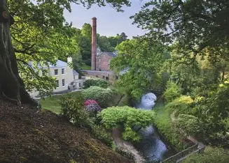
- Stop 1 the Viewpoint - South view = flowing river with bend, far side of flat area not as high, high ground at the back of the mill
- West view - trees, slope to sheer drop, hard strong rock , narrow near weir, clay soil beside the path
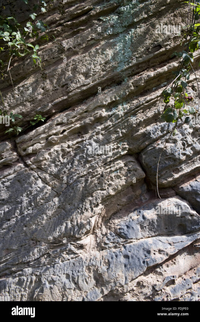
- Stop 2 the Cliff - Outcrop characteristics = 74m height, red, thin, medium bedded, angle of dip is approx 5 degrees, overhang, disintegrated rock at the bottom,, widely spaced joints, 50m above sea level 14,000 years ago
- Stop 3 the Cliff - vertical, closely to widely spaced joints,
- Stop 4 the Cliff
- Stop 5 Viewpoint = view west = orangey clay with bits of grit, cobbles not on top of each other but clay matrixed, trees supporting bank,
- Stop 6 the Cliff= valley opens west, sediment-charged water landing on saturated sand, 40 million years old
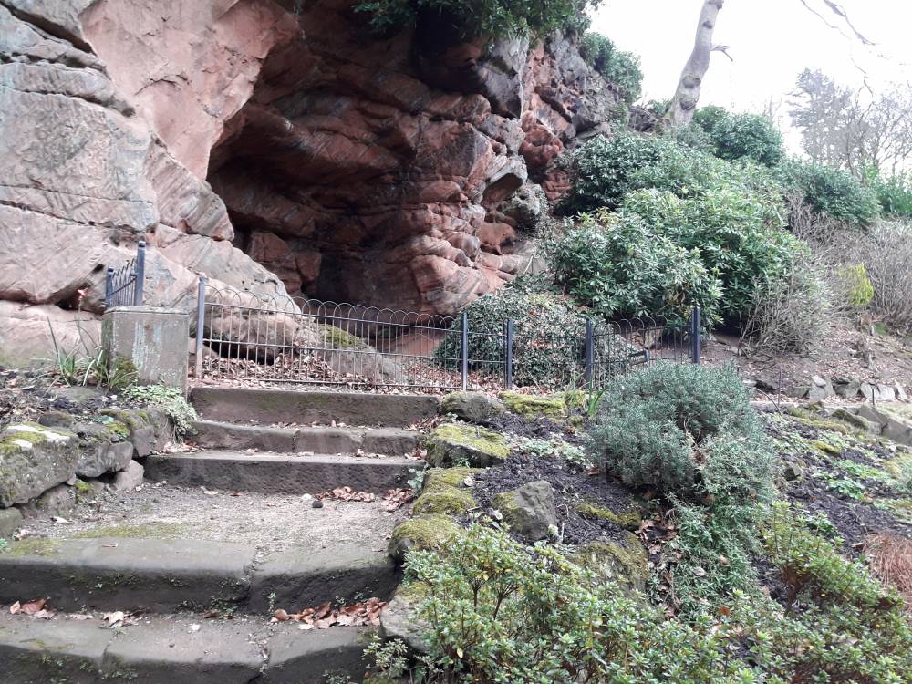
- Stop 7 the Cave = Triassic Helsby Sandstone = part of Sherwood Sandstone, Britain was where present day Sahara is, rocks dipping north 45 degrees, flat rock to left is probably a fault,
Courtyard cobbles:-
- Rounded near the top- bounced around by large volume of water, started off as large boulders in the Lake District
- Flat near the bottom
- granite
- basalt
- Borrowdale Vocanic Ash - welded
- ancient sandstone
- quartz
- Devonian sandstone
- Dolerite